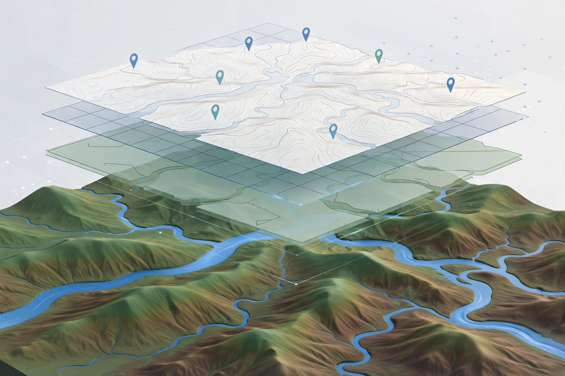
QGIS Desktop 4.2.3 for Mac
Mac UtilitiesMaps carry answers that tables hide. QGIS Desktop is a free and open source geographic information system that lets you explore spatial data, edit it, run analysis and compose maps that others can read. Students, planners, researchers and curious hobbyists all use it, whether the job is plotting survey points, studying land use or preparing a clean map for a report. It reads a huge range of data formats and grows through a large library of community plugins.
Key Features
- Views and edits vector and raster data in many formats
- Print layout tools compose maps with legends and scale bars
- Analysis tools measure, buffer, clip and compare spatial layers
- Connects to spatial databases and web map services with ease
- Plugin library adds tools for specialist tasks and data sources
How to Download
- Go to the download page and Download from the official site to choose your build.
- Pick the macOS installer for the current release or the long term release.
- Open the disk image, install QGIS and launch it to start a new project.
System Requirements
QGIS runs on macOS 10.14 or later on Intel and Apple Silicon Macs, using the official signed installers from the project site. The installer is large, so keep generous free disk space for map data.
FAQs
Is QGIS really free?
Yes. QGIS is free and open source, and the project states it will always be free from its official site. Donations are welcome but never required.
Which version should I choose?
The latest release brings the newest features. The long term release changes less often and suits production setups where stability matters more.
Can QGIS open data from other GIS software?
Usually, yes. It supports a wide range of formats plus database connections, so most common GIS data loads without conversion first.



Leave a Reply